Finally having a day free (not waiting for UPS/Fedex to show up), I took my bike down to the beach. LA is blessed with a beautiful coastline, and a 35km bike route starting at Will Roger’s beach, and ending at Torrance County Beach.
Often referred to as the Strand, it was officially renamed in 2006 for LA Councilman Marvin Braude.
The route is really great, comprising of a wide concrete path, right on the edge of the beach. In some sections you share the path with pedestrians, but for the most part it’s just for cyclists. There is one slight detour around Marina del Rey, a combination of on-road bike lanes and separate paths.
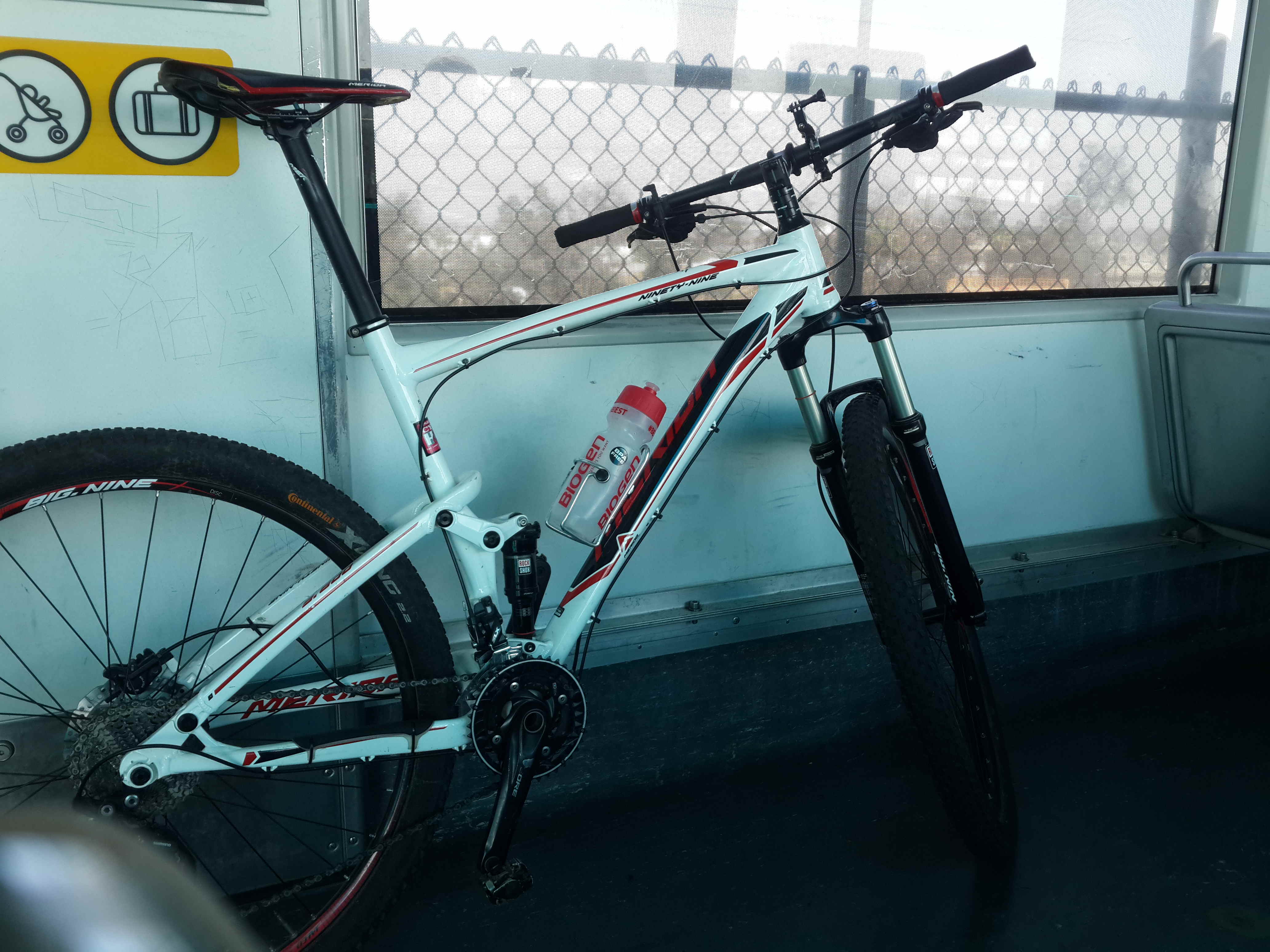
metro bike
Not living by the beach, I opted to take the Metro to Santa Monica. I then rode north to the start of the trail, and all the way down to its end. For midday on a Thursday there were more people than I expected, but not crowded at all.
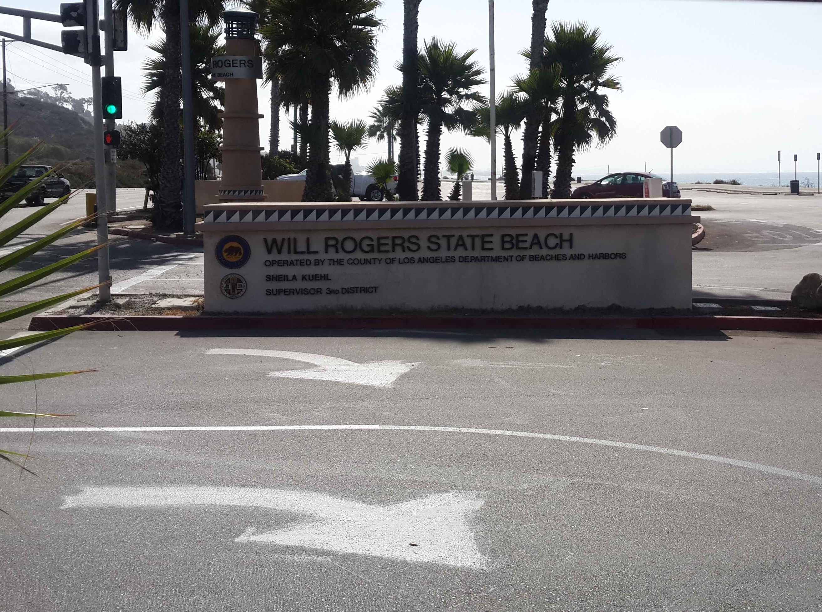
Start at the Will Rogers Beach
I did it in about 1hr25min on my mountain bike, but it would probably take longer if you just want to go for a relaxed ride (Google reckons 1hr45m).

Santa Monica Pier
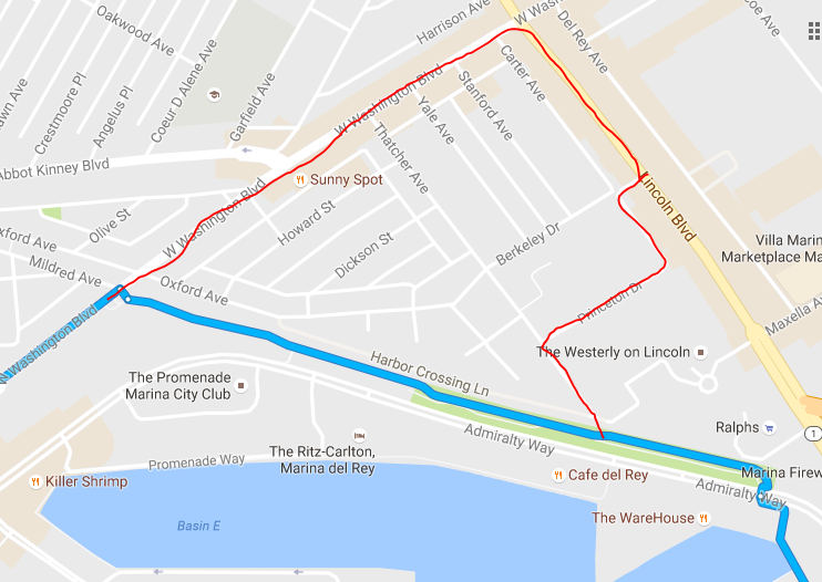
My detour in red
I also did a slight detour by Marina del Rey. You can see on the below map where I should have turned, but it’s not signposted, and if you don’t know there’s a turnoff you might miss it. I point it out in the video at the bottom as well. I only noticed when I ran out of bike lane though several hundred metres on.The trail can be unofficially continued through the Palos Verdes Peninsula, and then continued along to Long Beach. I opted to grab the Metro back home instead.
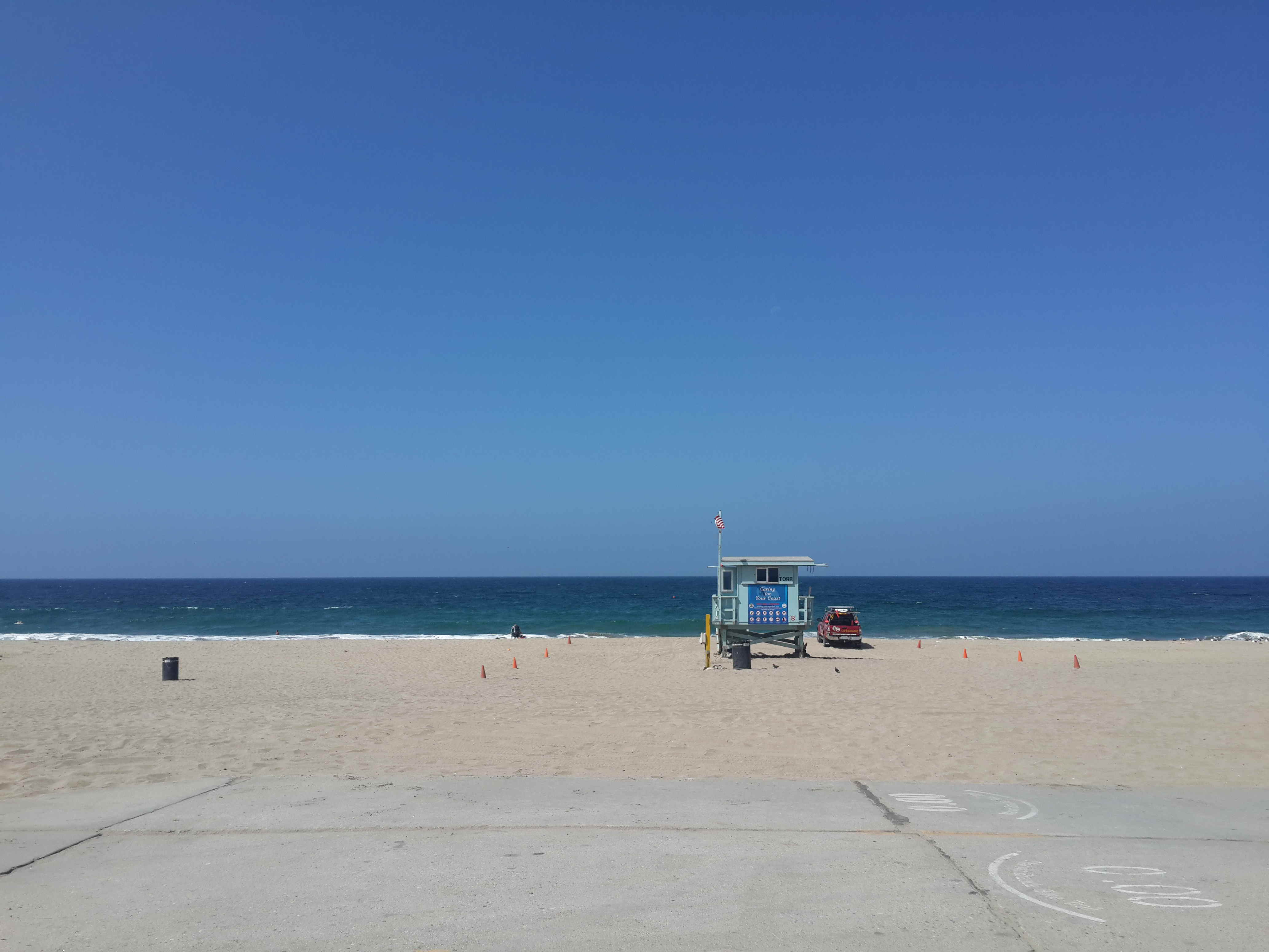
Trail End Beach View – Torrance Country
I did a GoPro compilation of many sections of the route which you can check out below.