Grand Arizona

For every day that we spend in the US, we add another location to our list of places we want to visit. As such, it’s nice to every now and then actually tick something off the list.

Earlier this month we were able to welcome my parents to the US for a short vacation. We used this as an excuse to do a trip out to the Grand Canyon, and see just a few of the many sights Arizona has to offer.
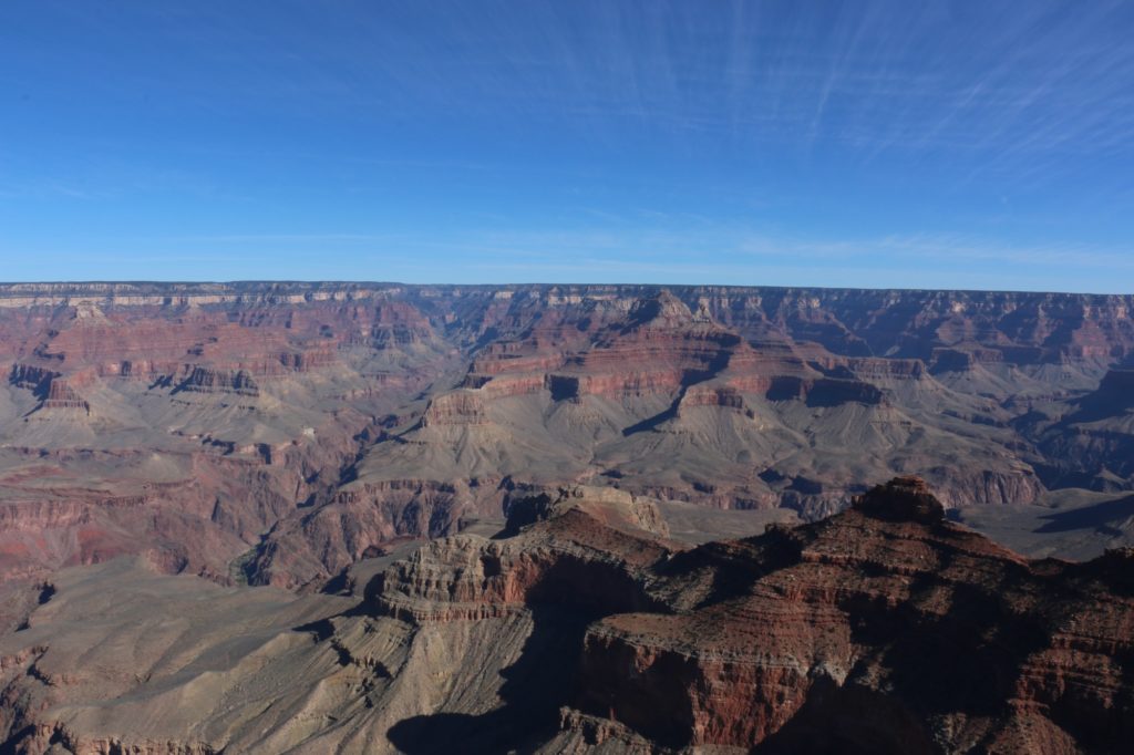
Grand Canyon National Park

The Grand Canyon is a well-known international destination, and for good reason. Growing up in South Africa I had the opportunity to visit Namibia, and hike through the Fish River Canyon. With majestic views and beautiful scenery, it’s a sight to behold. But as the saying going, everything’s bigger in America.

We’ll skip around the confusing definition of what a canyon is, versus a gorge, or valley, or kloof, or poort, or the many other words with similar but different meanings, and just accept that the Grand Canyon is much larger than the Fish River Canyon, but by no means the largest in the world, or even the Americas.

Stretching almost 540 km, the canyon reaches depths of almost 2 km, with rims as far apart as 30 km. It is truly grand to behold. The most common place to visit is the South Rim of the Grand Canyon National Park. And this is where we ended up. November is considerably cooler than the Summer months, and although snow is always a risk, we were blessed with very mild conditions. The cold weather does ensure far fewer visitors to the park compared to the summer months.

From LA it’s a pretty easy 8 hour drive to the Grand Canyon. There are different routes you can take, but not a lot to be seen if you’re trying to do a one day trip. Above you can see our full route for the trip. Green marks a place we overnighted, yellow marks a POI we stopped at and blue is the route we drove on a particular day.

We spent two two full days exploring the Grand Canyon National Park (three nights), opting to stay at an AirBnB just out side the park instead of the variety of hotels within the Park. Camping is on the list for next time, but wasn’t feasible with overseas guests. Instead we got a spacious, woodfire heated cabin, miles away from anyone, all to ourselves.

Two days is certainly not enough time to see everything in the park (and we were only looking at the South Rim), but we tried to see as much as we could. Day 1 we just spent getting our bearings. Hiking out to Yaki point in the East, returning via shuttle for lunch, and doing a combination of hiking and taking shuttles along the rim path to Pima Point in the West. Getting to take in all the splendour of the canyon, spending plenty of time stopping for photos.
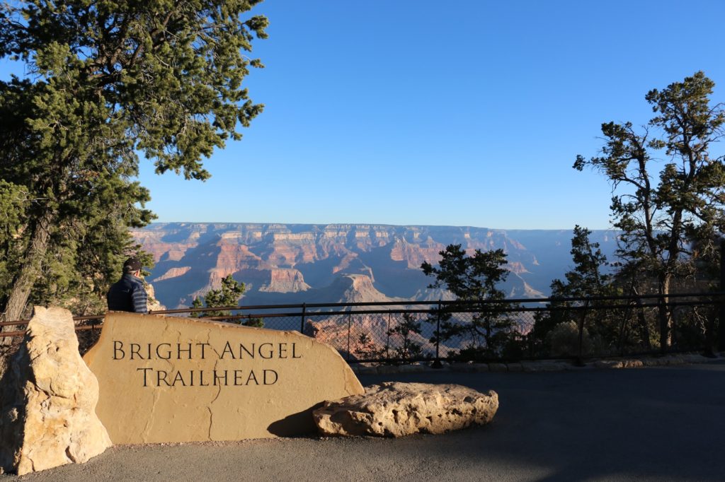
Bright Angel Trailhead, Grand Canyon National Park

For day 2, we really wanted to get into the canyon a bit. The easiest way to do this is the Bright Angel Trail. Starting in the Grand Canyon Village, the trail drops down past two rest stations and onto a small plateau. From there it carries on through the Indian Garden where it splits. One route takes you further to Phantom Ranch (on the north side of the Colorado River), and the other to Plateau Point ( a viewpoint into the canyon).

The National Parks Service (NPS) have to deal with hundreds of thousands of visitors coming to the park every year. All of them wanting to see the canyon. Many of them of questionable fitness. Unlike most hiking trails which make you do all the hard work first (climbing the mountain) and give you an easy route back, hiking into the canyon is the opposite of this. As the signs regularly warn you, “Down is Optional, Up is Mandatory”. Additionally many of these people arrive in the heat of summer.
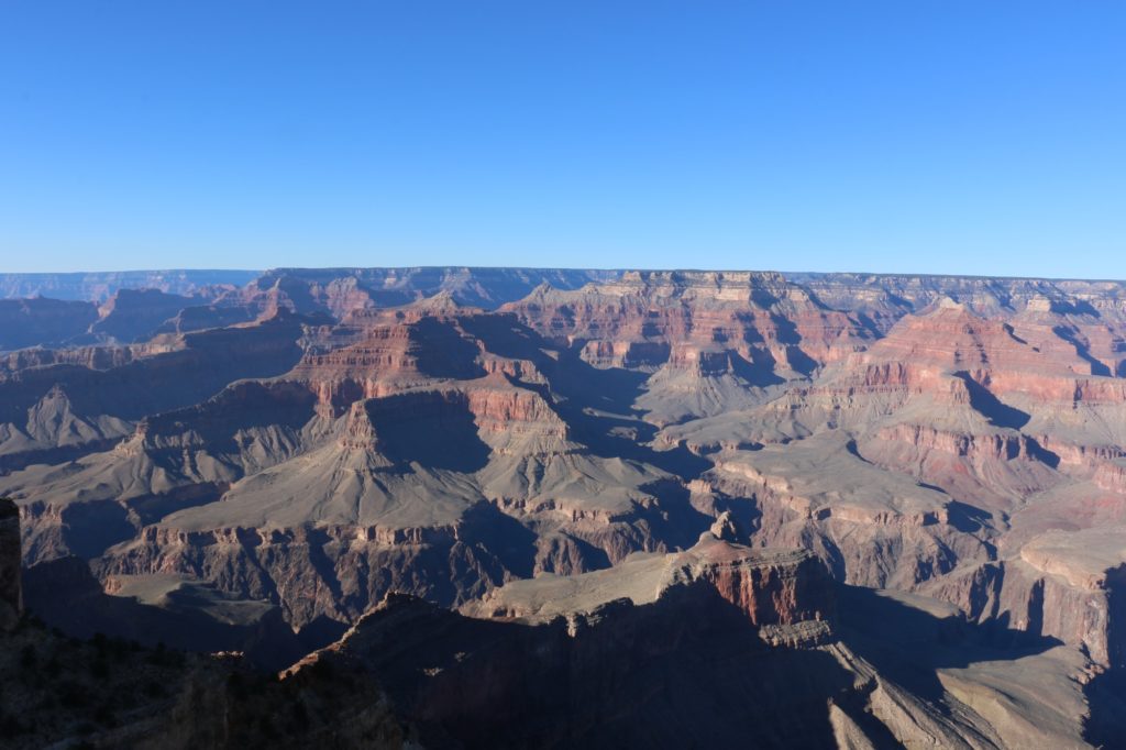
Grand Canyon National Park

This has resulted in the NPS posting very conservative times for completion of hiking routes. We got down to the Indian Garden in pretty good time, but had no idea how long it would take us to get back. Taking the NPS posted times into consideration, as well as the short winter days, we opted to head back up instead of pushing on to the plateau viewpoint.

In hindsight, we could have easily made it to the rim and back without trouble. The hike back up, although gaining considerable elevation, does so at a steady gradient. Meaning it only took us marginally longer to get out, than it did to get in.

Oh well, now we know for next time. We did at least get a chance to stop by the Yavapai Museum of Geology, which offers spectacular views into the canyon, and good displays explaining how the canyon came to form. Well worth the visit.
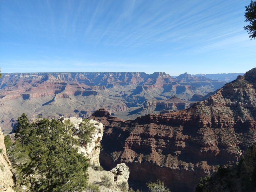
Grand Canyon National Park

Our next stop was Page, Arizona. If you’re heading north, you should definitely take the time to drive the Desert Trail along the rim of the canyon out East, instead of just sticking to the main roads through Flagstaff. Beyond the additional viewpoints, you also get to stop at the Desert View Watchtower for even more spectacular views of the canyon and the Colorado River.
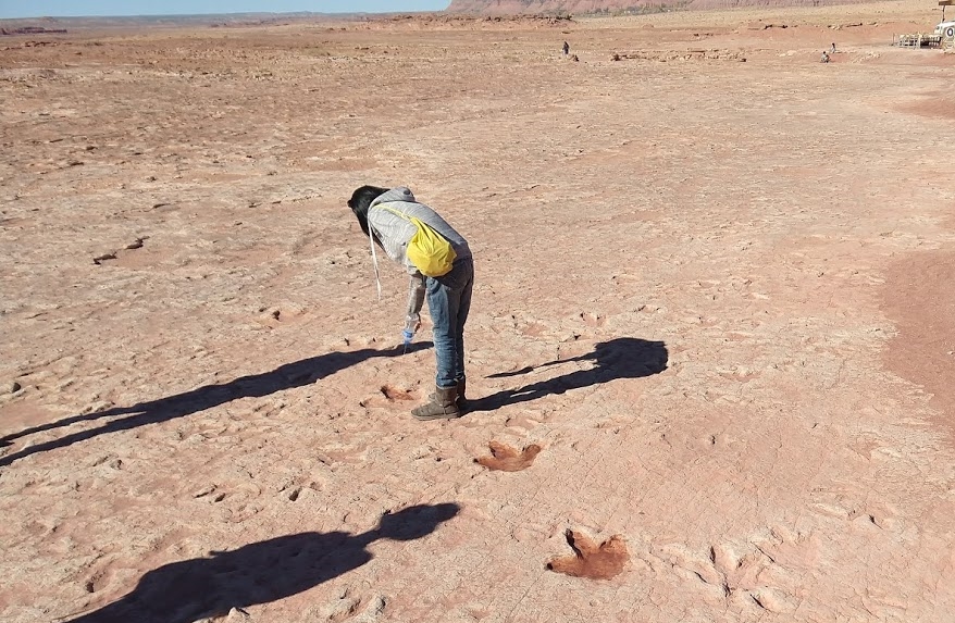
Dinosaur Tracks, Tuba City

When travelling between Page and the Grand Canyon South Rim, you can also stop by Moenkopi Dinosaur Tracks. Sitting on a part of the Navajo Nation, this attraction is self-managed, and not part of a National Park. In my opinion this makes for a non-ideal situation. You’re given an amazing first hand experience of multiple dinosaur artifacts, including very clear dinosaur tracks, with the ability to even touch them. However, there is no thought of conservation. And no information is available, besides what a guide may be able to tell you. Entrance is free, but you will be approached by locals offering to guide you, also free of charge. You should take a tour, and tip your guide at the end. Less than half an hour, but amazing to see. You can read more about it here.
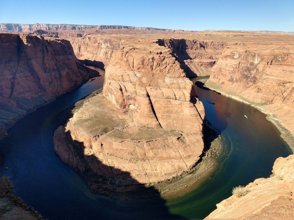
Horseshoe Bend, Glen Canyon National Park

Page is a small town that many people probably don’t know about. It started as a company town to house the people building the Glen Canyon Dam, that contains Lake Powell. Many residents now work for the nearby Navajo Power Station.
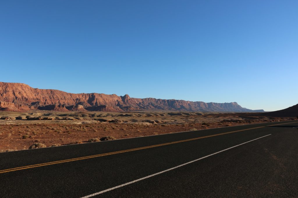
Lees Ferry, Glen Canyon National Park

Lake Powell is a popular tourist destination for boating enthusiasts, but Page is also well located as a center point between a multitude of National Parks. As for things to do in Page, it’s most notable tourist attraction must be the distinct Antelope and other slot Canyons. Amazing colours, with intricate lighting provides plenty a photo opportunity. The well-known Horseshoe Bend is also only a few minutes drive out of town. We can also recommend a drive out to Lee’s Ferry. It has several great hikes, and access to the Colorado River.
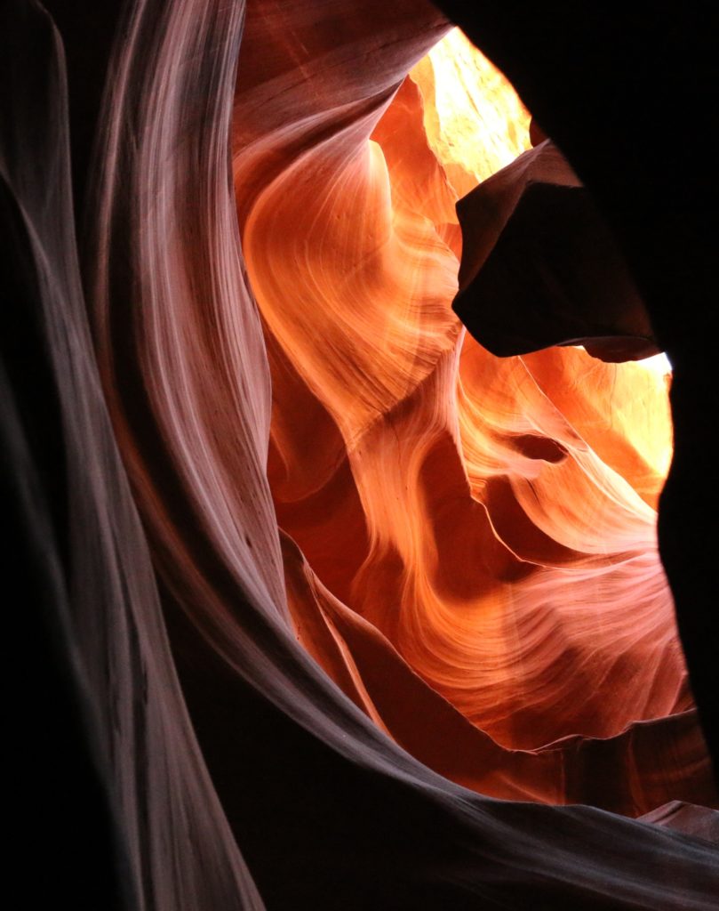
Antelope Canyon, Navajo Nation

With only a week for our trip, we didn’t have time to see much else, but did make sure to drive through Zion National Park. Another location with stunning vistas, immense mountains and natural beauty. We fortunately were able to take the time to stop in the park for lunch and hop on a shuttle up into the deeper parts of the canyon. As with every stop we made on the trip, it was well worth it. Zion is definitely staying on our list of places to visit, deserving more time to hike and explore.
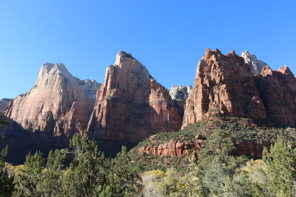
Court of the Patriarchs, Zion National Park

Our trip was scheduled to end in Ventura, visiting some family. To cut our last day in half we set our sites on Las Vegas. Picking a hotel just off the strip we were able get just some of the Vegas experience, without diving in completely. A walk down the strip, dinner and some fountains were a nice way to wind down.
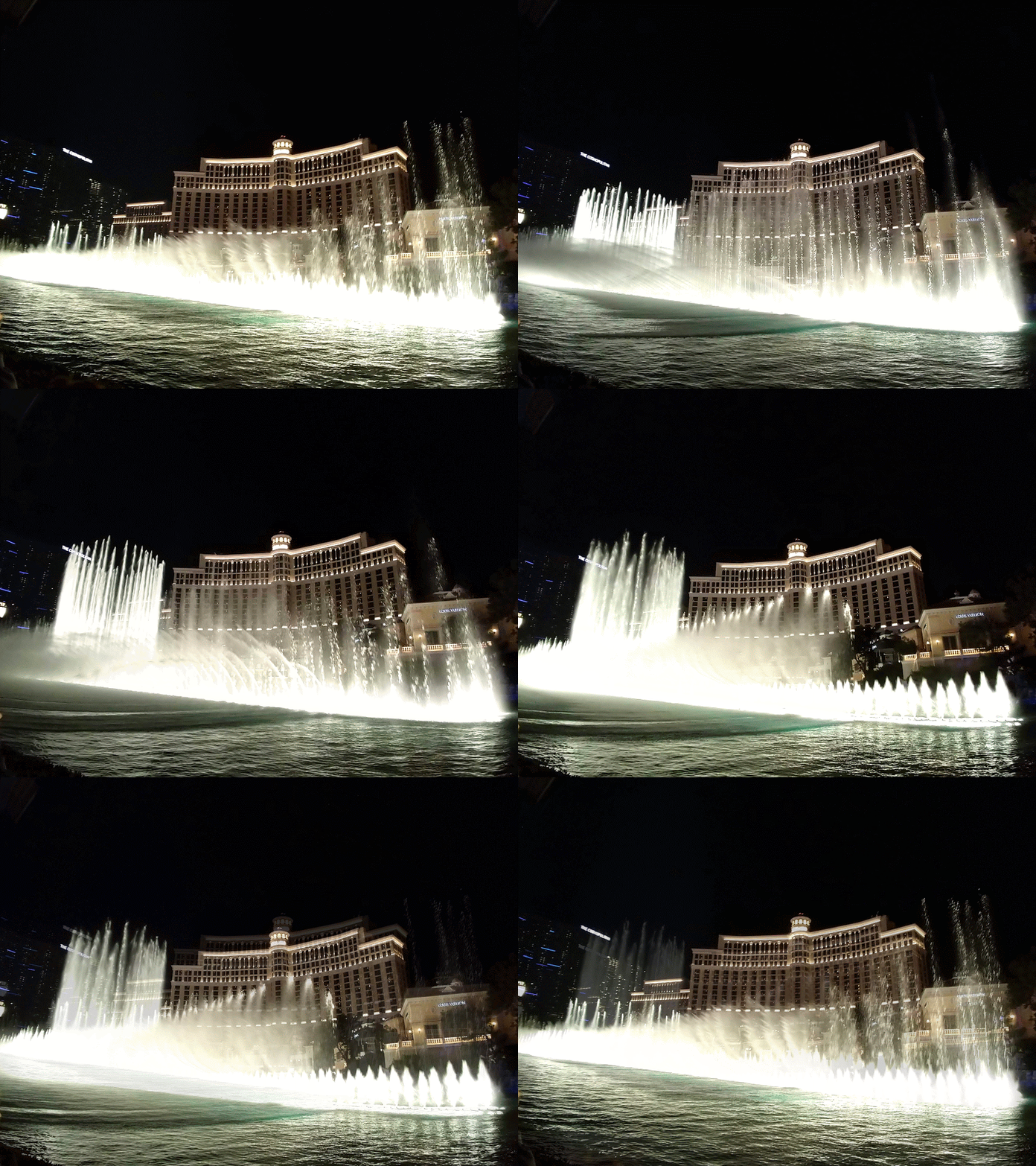
Bellagio Fountains, Las Vegas

One week is by no means long as far as US roadtrips are concerned, but it gave us enough time see what we wanted to see without rushing. The trip added another 1,700 incident free miles to our car, getting it to cross the 90k mile mark somewhere between Vegas and Barstow.

The rest of the year looks to be fairly quiet beyond some local camping, but next year we hope to limit the international travel and instead focus on seeing more of the US. Zion is already on the cards for April.

Holidays! San Fran, Yosemite and Sequoia

It’s the end of the year, and although I don’t have holidays per se, I took a break to have some fun while my wife is on holiday. Her and a friend attended a conference in San Francisco, so at the end of the week I joined up to form our touring group of four. With a new set of second-hand wheels, our trip was planned and ready to go.

San Francisco Bay, with Alcatraz in the background

I took the PCH1 all the way up from LA to San Fran to meet them there. I overnighted in Monterey at the HI hostel located near the aquarium. It was a beautiful drive, although it rained the entire way, including a few manoeuvres to dodge the fallen rocks. Definitely on the list to do again in the summer, with a number of national parks and other places to stay along the way.

Monterey also looked like a stunning town, and the Aquarium is highly renowned, also on the list for next time. I donned my rain jacket and made a few loops of the former fishing town, before withdrawing to the warmth of the hostel.

Down Lombard Street

The next two nights were spent at the HI hostel in Fisherman’s Wharf (north SF). Located on the grounds of a former naval base, this is a very popular hostel, located in a beautiful section of LA with great views over the bay, Alcatraz (not Azkaban) and the Golden Gate Bridge.

We did a lot of walking, but this let’s you see a lot. From the hostel we walked down to pier 45 to see an old submarine, from there we carried on to the top of telegraph hill to view the Coit Tower. All the way down Lombard Street, we climbed to the top of the Crookedest Street. From there we found a bus that took us to the Golden Gate bridge, which we promptly walked in both directions. From there we followed the coast all the way back to Fort Mason and our hostel.

Not particularly Golden, red yes.

We didn’t have much time in SF, and have left a lot to return to. We had wanted to visit Alcatraz, but this apparently requires advanced booking as demand is quite high. After the initial rain, the weather cleared up, and although it was cold, the sun shone all day. This weather persisted for the rest of our trip.

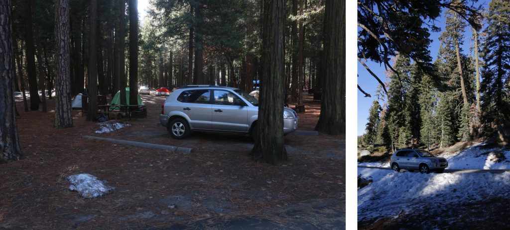
From San Fran we took a direct route to Yosemite National Park, and camped three nights at the Upper Pines camp-ground, in the Yosemite Valley. The campsite was probably about a third full and very cold, dropping to about -5C most nights, and not getting much above 5 during the day, being mostly in the shade.

Our new wheels in Yosemite and Sequoia

It wasn’t our first camping foray in negative temperatures, but the low daily average was something to contend with. On our first full day in Yosemite we did the short trail out and around Mirror Lake. At the base of the Half Dome, it was a cold dark hike, although flat, with a brief sunny respite for lunch. Stunning scenery and breathtaking landscapes were to be the order of the next several days.

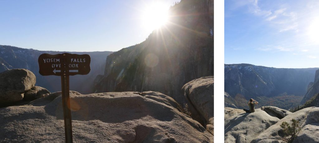
The next day we decided to get out of the valley and into the sunlight and chose the steep and switchback full route to the top of the Yosemite Falls. Climbing about 800m, the route takes you up the western part of the falls offering some amazing views of the Upper Yosemite Fall and placing you up top with a view down.

Views atop Yosemite Falls

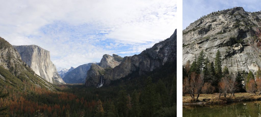
You follow the same route down, and as the sun set we were greeted with an array of new colours, lighting up the mountains around us. On our way out the following day we headed south towards Fresno. This gave us new views looking back over the valley with a view of El Capitan, Yosemite Fall, Bridalveil Fall and Glacier Point, truly a magnificent sight.

Shortly thereafter we had our first run-in with the law as our newly registered vehicle did not yet have number plates (perfectly legal for 60 days), and after a very orderly interaction with the po-po we were free to continue our journey to Sequoia and King’s Canyon National Park.

Yosemite Valley and Mirror Lake

Another beauty in it’s own way. Yosemite’s glacial basin made way for rolling hills, an increase in altitude and massive trees. Having visited in the summer, it was nice to visit again in the winter. We had expected colder than Yosemite temperatures, and thus booked into a cabin. Temperatures however increased between the storms, but our enjoyment of the cabin’s heating was no less diminished.

As we arrived we swung past the General Grant tree. Although snow-chain laws had been in place, and we were suitably equipped, the weather had improved to an extent that they were not required. While the General Grant is not as big as the General Sherman tree we had seen previously, it is suitably impressive. Later that evening while prepping supper, we were visited by a swarm of raccoons who proceeded to tear apart a nearby pine tree but seemed to mostly leave us alone.

Yosemite Upper Fall and view of the valley

After much debate on what to do the following day, we opted for a shorter hike to allow us time to drive through King’s Canyon. We chose and enjoyed the Big Baldy route. Taking you up to 2500m, this gentle route offers outstanding panoramas. With the snow-capped Sierras close on your one side, your view stretches out over the Central Valley with the peaks of the Coastal Ranges just sticking out in the West.

After a brief lunch break we headed back and on towards King’s Canyon, intending to drive to the Roads End, we were instead greeted with ‘Road Closed’ signs, and our map confirmed that the road closes in winter. As such we took a detour back past the Hume Lake (which is actually a dam) back towards Grant Grove village where our cabin was located.

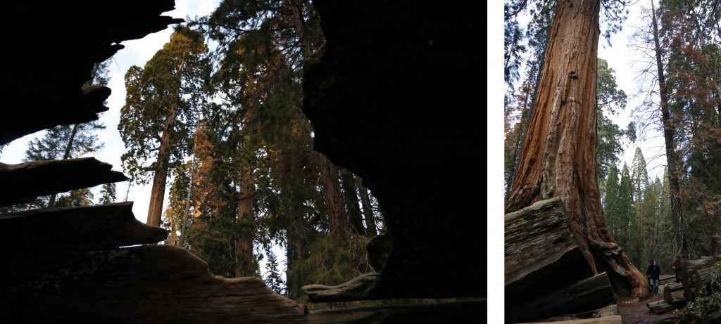
Big trees in Sequoia

With a storm headed our direction, we decided to make an early escape via the General’s Highway, past the Sherman Tree, and out the Ash Mountain entrance. The CHP and park rangers had other plans for us though, and decided to close the road in anticipation of the storm, thus our nice long drive out was summarily curtailed within minutes of leaving camp. Understandable, but disappointing. We did at least experience a few light flurries of the impending snow as we dropped our altitude.

Although we really wanted snow on our trip so we could do some skiing, the warm and dry weather we were greeted with did make several aspects of the trip (like camping and driving) much easier and more pleasant (and drier). That being said, regardless of the weather you receive any of these places are a great place to take a holiday, and all of them remain on our list of places we want to visit (again).

Views of Sequoia

We were also amazed at the large portions of the parks which are not accessible from roads, but open to hikers to camp out in the wilds (best done in the warmer months).

Swiss/Italian border

Earlier this year my wife and I had the opportunity to do a bit of travelling in the Simplon area of southern Switerzland under the pretence of academic research. I say under the pretence, it was pretty much all research with me just tagging along for moral support.

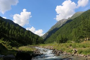
Zwischenbergtal - so freaking green

Zwischenbergtal – so freaking green

We flew into Milan, hired a car and drove up to Domodossola, just south of the Swiss/Italian border. We spent one night there before driving on to Simplon. We spent 6 nights at the Simplon Pass Hospiz before continuing on to two nights in Brig. At the end we spent our last 3 nights back in Domodossola.

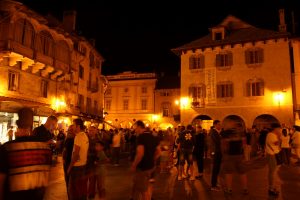
Domodossola (you should hear the GPS pronounce it) is a small, sprawling city nestled in the foothills of the Italian Alps. It’s a beautiful city with a small town feeling, especially in the central areas where the architecture is all stone and has an old feeling to it.

Domodossola at night

Domodossola at night

Not much English is spoken, but you don’t need to communicate a heck of a lot to get by. We stayed just off the main square, and there was a big festival on our first night there, that continued long after we went to bed. Everyone was out in the streets with kids playing everywhere, really great experience.

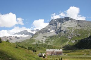
Simplon Hospiz Way bigger in person

Simplon Hospiz
Way bigger in person

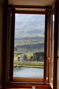
We travelled up to the Simplon Hospiz, located at the peak of the Simplon Pass just over 2,000m. It’s a massive stone building, with walls almost a metre thick. It’s not the prettiest building, but fits well in the surrounding splendour of the mountains. Accomodation included breakfast and dinner which we shared in a hostel like fashion at mixed tables with the other guests. Few of whom spoke English, and yet they were some of the friendliest and nicest people I’ve met. Mostly locals (within 100km), all taking a break at the Hospiz.switzerland-24

We spent six nights there, followed by two nights in Brig where we stayed at the Schloss Hotel. The Schloss Hotel employs an ATM type machine for check-in. And I love it. Put in your booking reference, swipe your credit card, and voilà you have your room key. It was everything I could hope for for the future of check-in procedures.

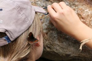
Butterflies were everywhere, and not shy

Butterflies were everywhere, and not shy

Brig was beautiful, another old European town, stretched out along the Rhine. Our last three nights were spent back in Domodossola before returning to Milan. On our very last day our co-travellers were flying out at 10h00, but we only flew at 22h00. As such we took the train into town, and spent a few hours in the central area of Milan, before heading home.

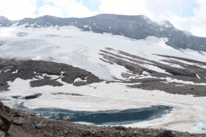
Appropriately named Chaltwassergletscher

Appropriately named Chaltwassergletscher

Every day we spent driving around the countryside, up tiny little streets to the tops of mountains, or hiking up along the cattle trails. The scenery was absolutely beautiful. We were there end of July so the weather had warmed up nicely, most of the snow had melted and we were left with beautiful green sceneries.

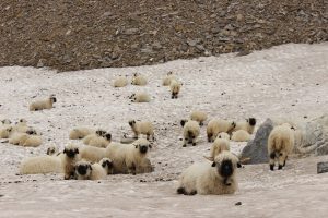
These sheep were adorable.

These sheep were adorable.

We were amazed by the extent of the hiking trails through the mountains. Anywhere you want to go you can find a small marked path taking you there. Town to town, or even just up to a peak. You might even find a little hut with a fire and baked goods for sale.

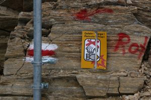
No Touchy

No Touchy

Switzerland was (it still surprises me) expensive, but if you’re interested in the border areas you can legitimately stay in Italy and do some day trips. It was a wonderful trip through beautiful scenery. I’ve spent time in the Alps in winter on two occasions, but seeing them in the summer was something else entirely.

DTLA (Downtown Los Angeles)

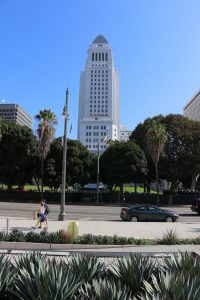
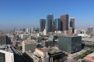
I had some free time recently and heard you could go up to the observation deck of City Hall. While not the highest building downtown, the 27th floor observation deck gives a nice view over the city.

LA City Hall

LA City Hall

It’s free to the public, you just need to show some ID at security and go through a metal detector. But they sign you in, give you a visitor sticker and some quick directions up to the top. You have to switch elevators near the top, and climb one flight of stairs.

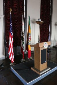
pressroom

Press Room in LA City Hall

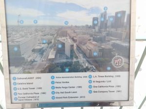
At the top you are met by a dark room which looks like it is used for press conferences, but all around it is a balcony which overlooks LA. On each side is a small summary board, naming the buildings and other sites you can see. I giggled a bit when I noticed the optimistically marked Catalina Island. With LA smog, and a distance of 35km to the island, it is a special day when one can see it.

catalina

Optimistic marking of Catalina Island (2)

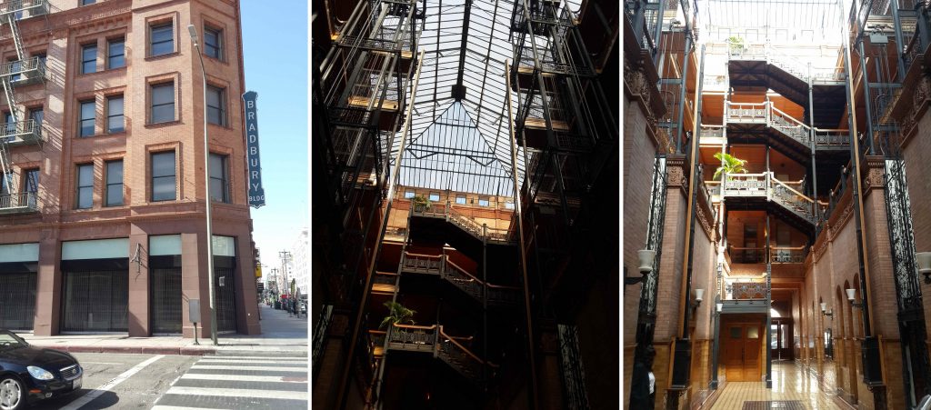
visitorI took a bus from University Park to downtown, and then walked the streets to get to the city hall. Walking down a random street (Broadway), my attention was drawn to a girl taking a photo of a door mat. Reading the doormat I read “Bradbury Building”. This name was familiar to me, but from the outside the building doesn’t look like much, so I carried on to city hall while taking out my phone to investigate.

dtla

View of Downtown

And yes, it was the Bradbury Building, a famous(y) building used in a number of films. I heard about it from a 99PI episode about the building. And while not being much to look at from the outside, inside has some interesting architecture. One is free to walk around the lower landing during office hours.

bradbury

Bradbury Building – inside and out

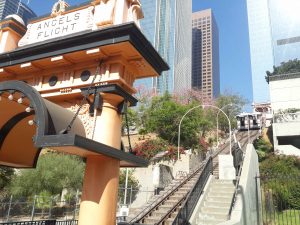
On my way back to catch the bus, I came across an unexpected funicular. I had actually read about it recently on Reddit, where it was the focus of a recent vandalism attempt, but hadn’t taken note of where it was.

funicular

Angels Flight funicular

But there’s still so much to see downtown, and I’ll definitely research a bit more before my next trip.