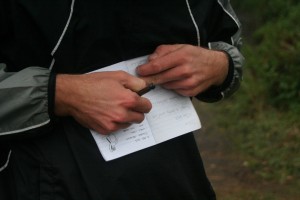
As part of an elaborate engagement plan for a friend, I ended up in Hogsback a few weeks ago. Myself and a friend were armed with an iPhone, a Galaxy phone and Garmin GPS as well as a set of clues to go hide in 5 Geocaches in the area. It was both of ours first experience in the hobby.
While I’ve tried to not mention any clues which might help to locate the caches we found, I apologise if the intended effort fails.
The plan was to take a set of clues to place in five different already established geocaches. The couple in question would visit Hogsback the following weekend and find all the clues we had hidden, the clues would build up towards the proposal. It wasn’t the best weekend ever to go hiking around outside, but we had a set mission to accomplish.
 9 o’clock on Saturday morning we found ourselves driving on a dirt road out of Hogsback towards our first cache at Wolfridge Falls. It was chilly, it was raining and trees were hanging over the road most of the way, and we were having a little trouble with our GPS devices. We found the falls and keeping the hint in mind hunted around for about 20min without any luck. We then thought we had the wrong location and spent the next three quarter’s of an hour walking down the road and up random paths looking for a suitable location.

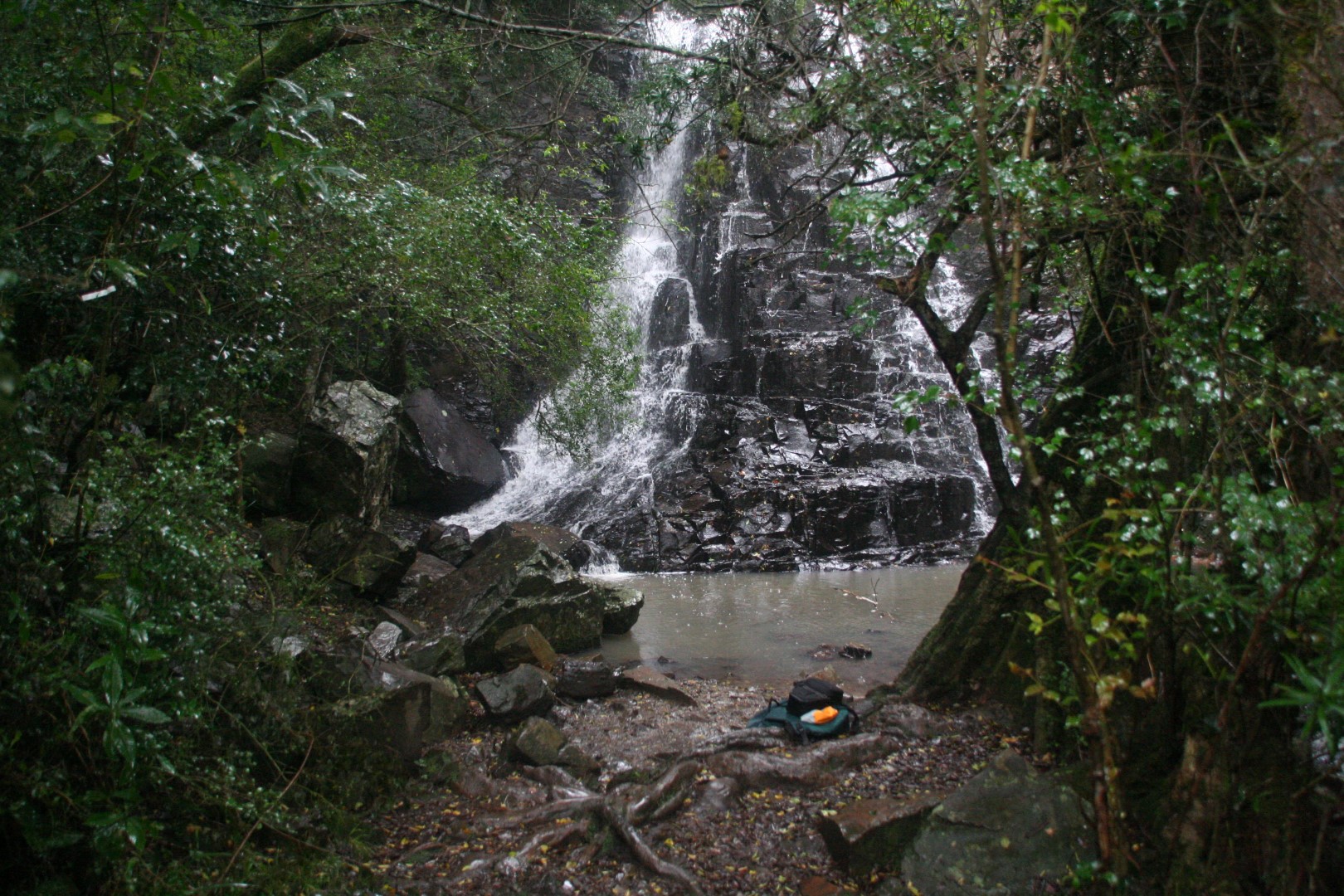
Wolfridge Falls
After getting our GPS functioning again we realised we were originally in the correct place, headed back there and spent another 20min scrambling around looking for the cache. Still no luck. Because this was more than just a personal goal, we caved and gave team iPajero a call. Now with a slightly better idea of where to find the clue; we saw where it most likely was. And thus were able to hide the first clue. It took much longer than we had expected and we decided to hurry on to the find the next cache in the hopes they wouldn’t all take that long to find.
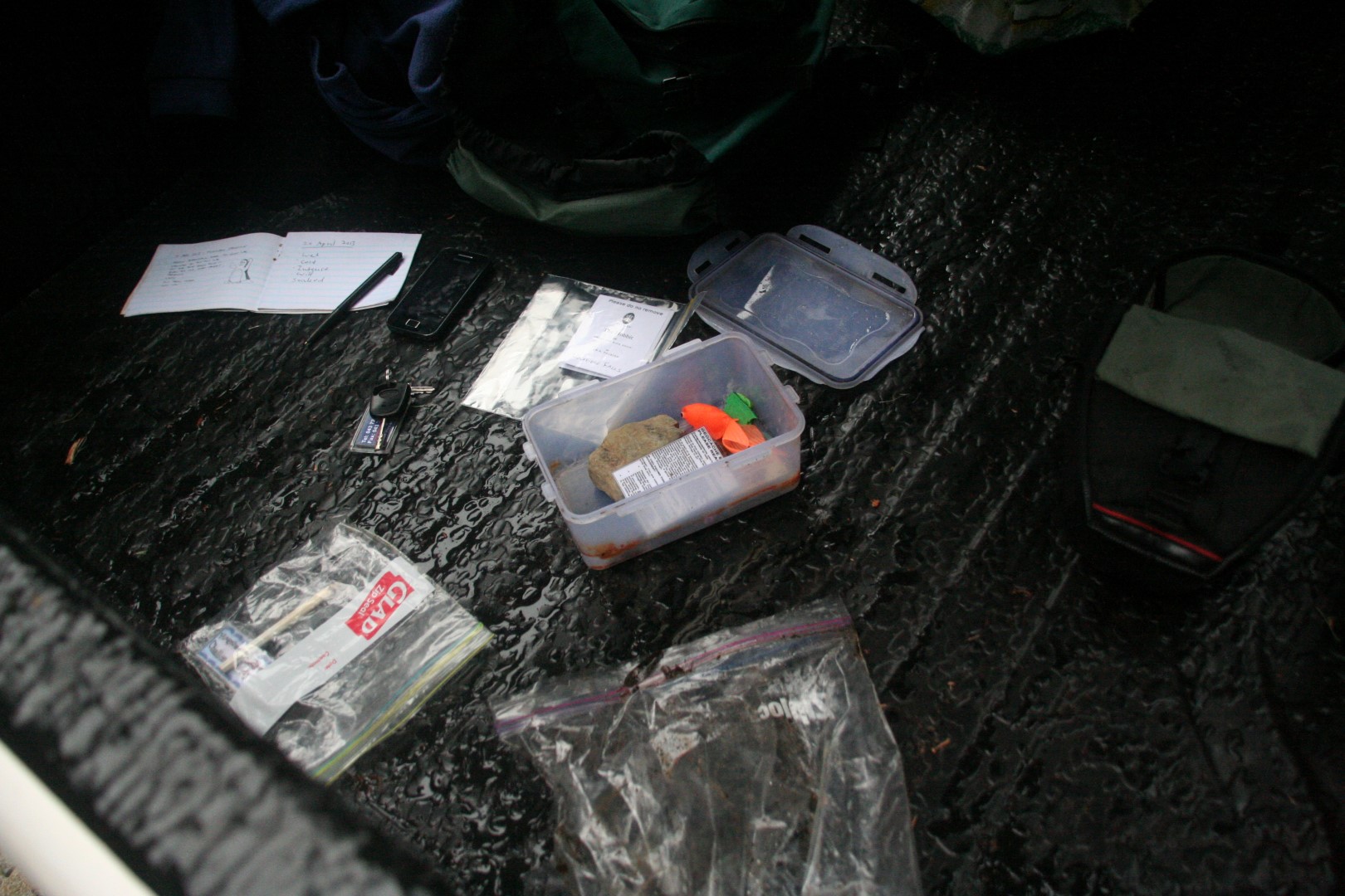
Wolfridge Falls cache
Next on the list was Kettlespout falls, a drive back to town and out along another road got us to the parking area to start the hike. A fairly short hike up to the falls, gave us time to turn the GPS on and locate the given GPS coordinates. A short search quickly yielded the cache, in which we logged our finding of it (using the day’s pseudonym, “Cold & Wet”) and planted the second clue.
Kettlespout cache
With the quick find giving us a boost of morale we hopped back in the car and headed towards 39 steps. Another short walk and a 10min search yielded our third cache of the day. Alas we had left the clue we were supposed to leave in the cache back in our car so had to walk there and back again to place it in the cache.
39steps cache
With the rain refusing to relent, we decided to get all the cache’s done before we dried out and got some lunch. Next on our list was the cache at the Chapel on the Hill. Not actually part of the challenge we were setting up, we went to scout out the location as a fall-back in case something went wrong on the day, or we weren’t able to hide all the clues.
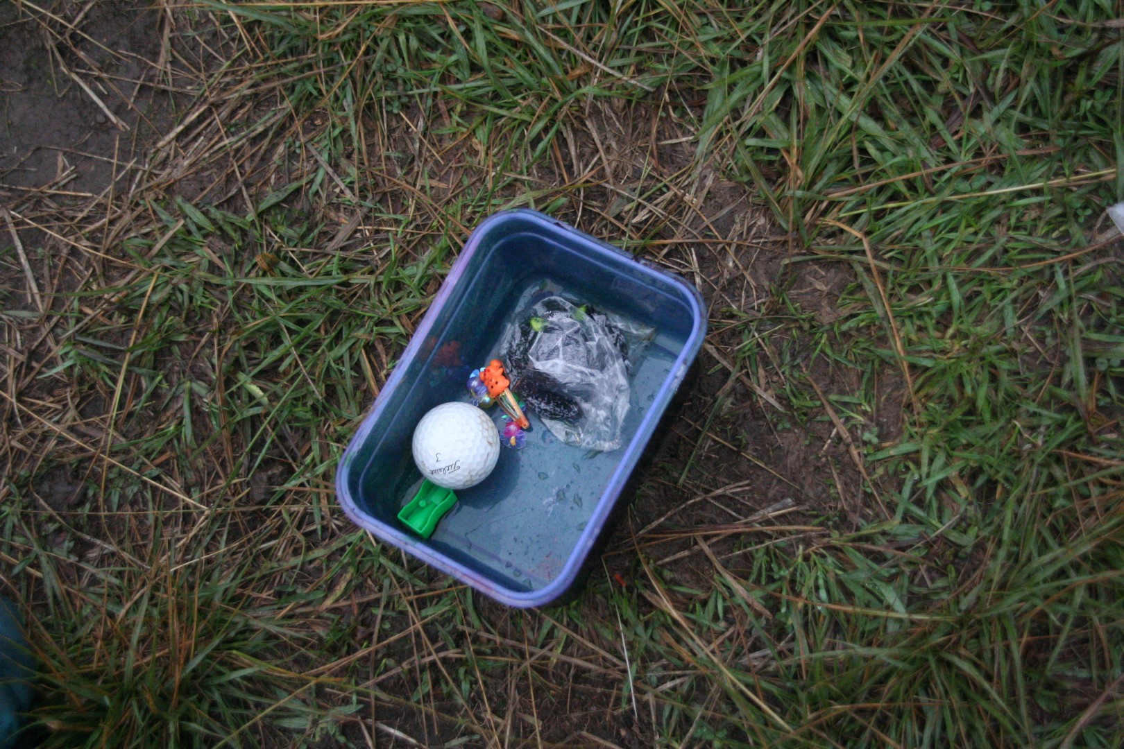
A lovely little chapel surrounded by trees, we had a good look around the area (keeping the hint in mind), searching for possible locations of the geocache. After 10min we found where we thought the cache should be, after half an hour of searching we conceded defeat and gave our friends at iPajero another call. He tried to explain where the clue was relative to the marker we had located, and we immediately realised we were in the wrong place as his description didn’t match what we saw. We then found the actual location of the cache. While our first location still tied up with the hitn provided, it was just unlucky that we found it first and the correct one only later. This was also our first introduction to the nano-cache. We opened it up, but decided not to log the find, mainly due to our unsteady and wet hands at the time.

Much smaller than we expected
With our enthusiasm taking another slight beating we figured we had to find the other two clues before lunch otherwise we’d probably never get to them. Next on our list was Urst100. I had mapped all the geocaches on a map to figure out an optimal manner to search for them. It wasn’t till we headed towards Urst100, that I read the clue, and saw the GPS coordinates given were for a potential parking place, and not the position of the cache itself. A quick recalculation had us heading out on the same road as the Wolfridge Falls, stopping earlier to hike down to the Madonna and Child Falls.
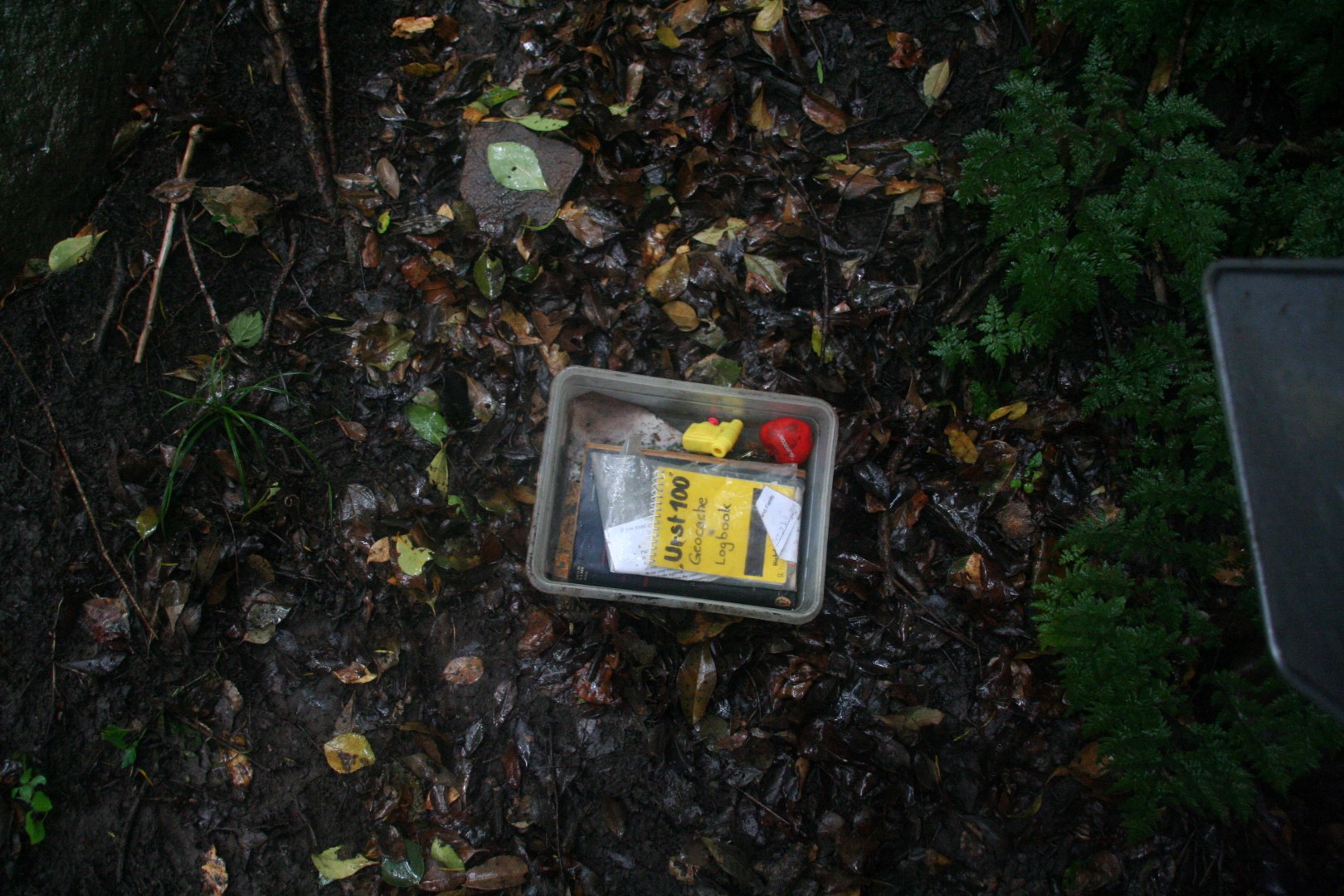
Urst100 cache
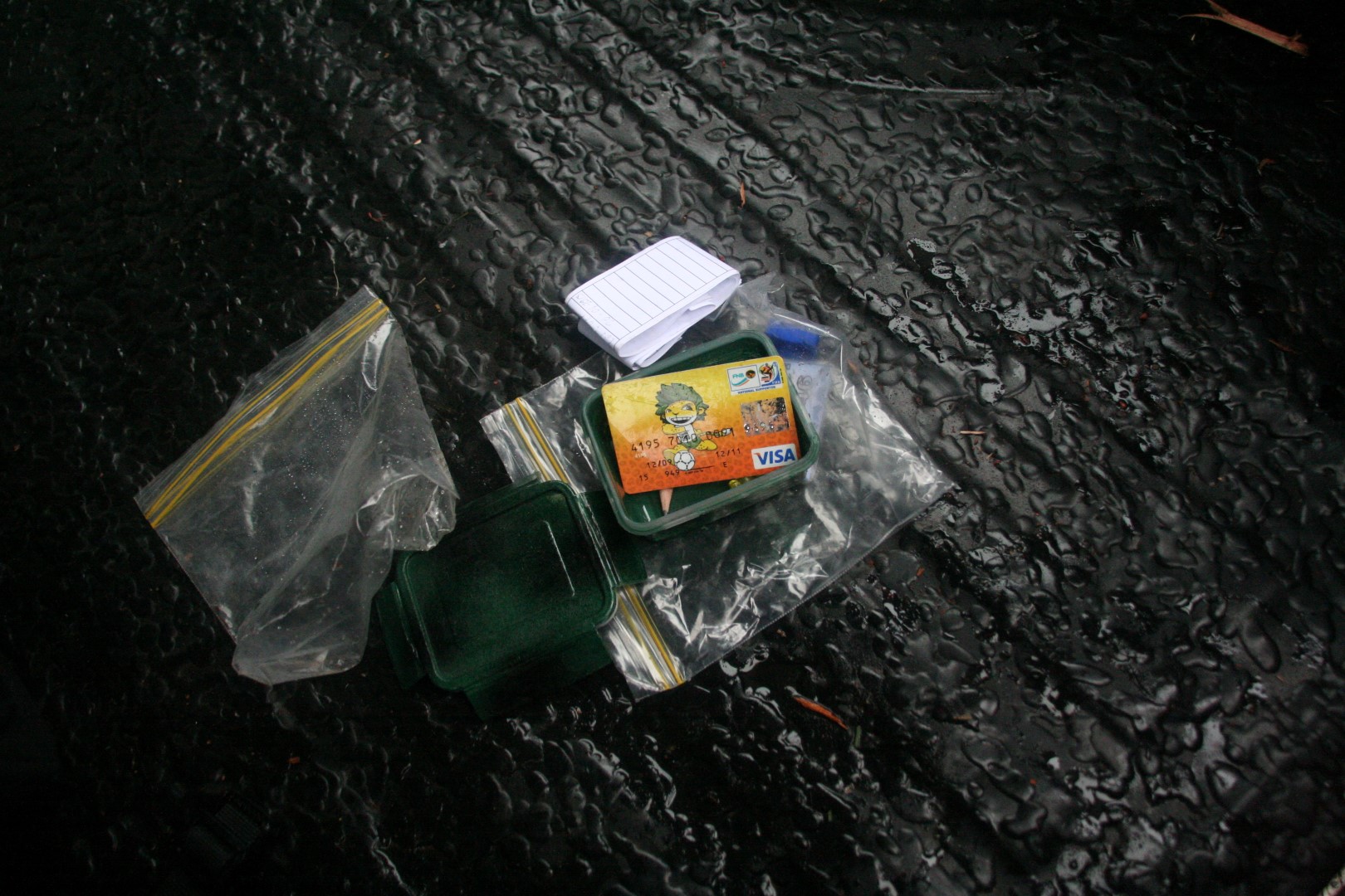
Having decoded the hint, we searched for about 10min before locating the cache and hiding our second last clue. From there we cut across towards our last cache of the day, the Hogsback Big Tree. A bit of trail running through the forest got us to the tree a bit earlier, giving us plenty time to search for the final cache.
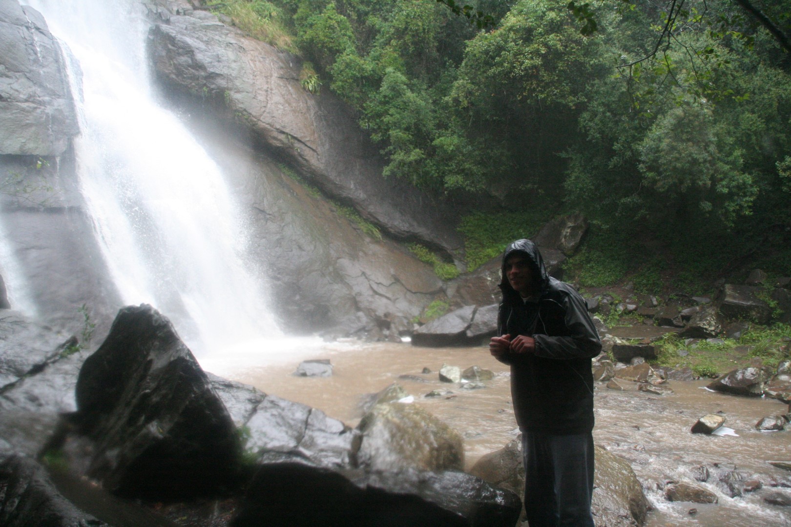
Madonna & Child Falls
We knew going in that this was going to be a difficult cache to find; many people had previously been unable to locate this cache. Once we got there it took us about 10min to locate the clump of trees in which the cache is located. The hint helps in this regard. Half an hour of searching proved to be fruitless, and it getting later in the day, and our stomachs beginning to tire of the milk bottles and wine gums we had earlier fed them, we decided to place a third call to the helpful team iPajero.
He was able to explain the general location of the cache, but not it’s exact location. Another 20min of searching resulted in another phone call. Another half an hour of searching and we decided to call it a day. We instead chose to hide the final clue in a location that it could be believed to be as part of the cache.
39 Steps
With that we beat a quick retreat to the car and our late lunch. While our first two attempts at securing a meal failed, the third led us to the Butterfly’s Bistro near Hogsback’s info centre. With a fairly wide selection of food and good service we both ended up opting for a delicious steak with vegetables and chips with a glass of gluwein to get us back to room temperature. This further aided by the wood-fire and being granted permission to remove our wet shoes and socks.
Overall it was a long day, sometimes it was great, some times we weren’t the happiest people, but it was a fun experience and is a great story to tell. It wasn’t really the geocaching experience I had expected, but from a challenge perspective was great. We set out from East London at 07h00 and arrive back 12 hours later, having got some good excersize, finding five of the six caches we had set out to locate and hiding the required five clues. Although the weather was lousy, it added to the experience :)
I was delighted to hear the following weekend that our efforts were not for nought, and the proposal all went off without a hitch, and occurred under blue skies to double. My thanks also go to team iPajero for their help in locating the caches, without whose help I don’t know what would have happened.
 It was odd to note, that after looking for a while, when you saw a place for hiding a cache, you just had a feeling of knowing it was the correct place. You search for a while, digging around, and then you just see this one random arrangement of rocks, and know that’s where the cache is hidden. Also that although the coordinates were useful for mapping these caches’ locations; for five of the six we found, a GPS device wasn’t actually necessary. Kettlespout required the coordinates, the rest were all located by specific features.
My Geocaching account is Fiddlings.


")


