Ballona Creek Bike Path

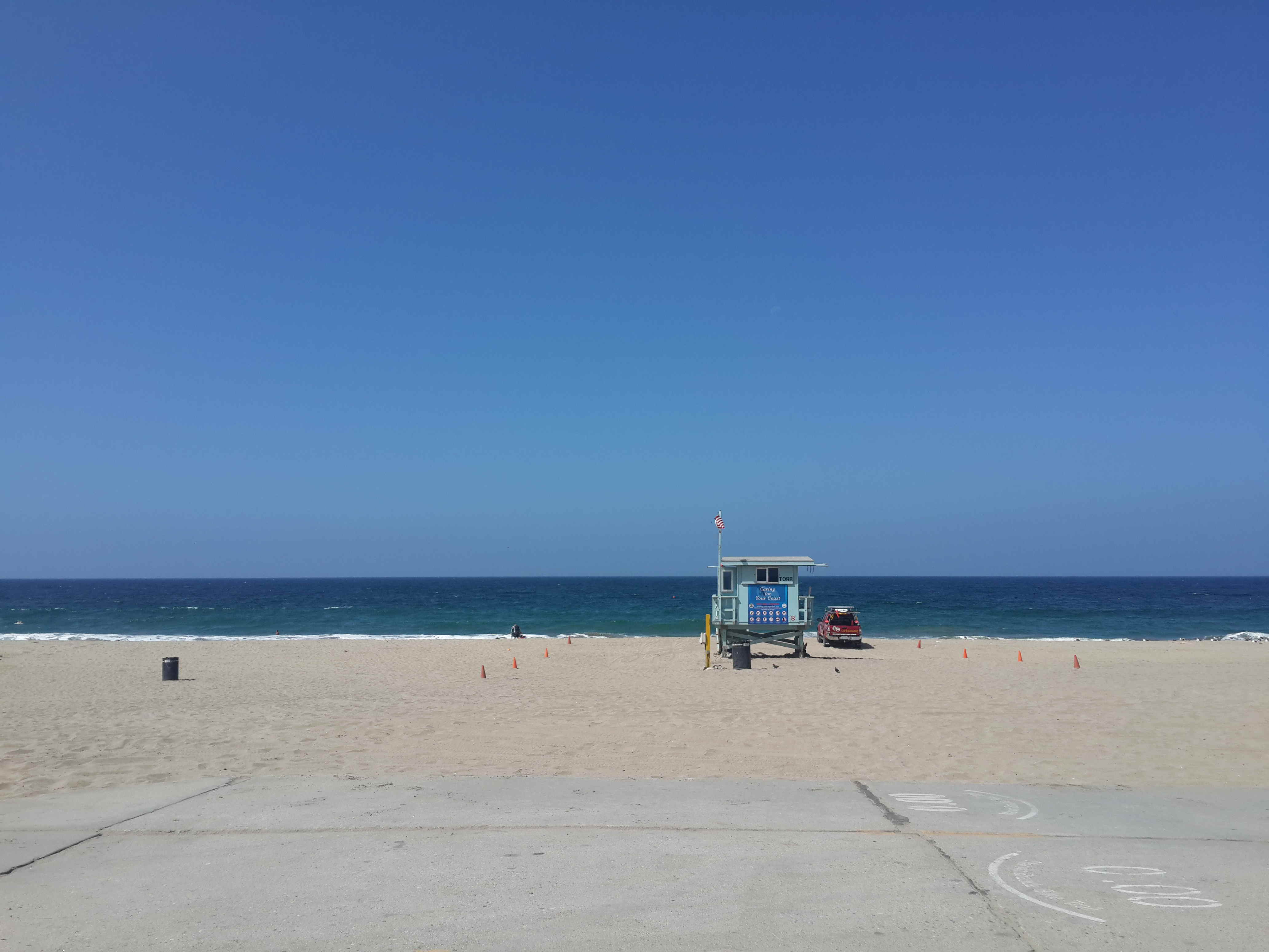
While some may say calling it the Ballona Creek Bike Path gives it a far more romanticised name than a concrete river deserves, as you get to the sea some natural vegetation and wildlife does appear. And regardless, the beauty I see in the bike path is not in the visuals, but the ability for me to escape the hustle and bustle of the LA roads and ride without being impeded by traffic lights.

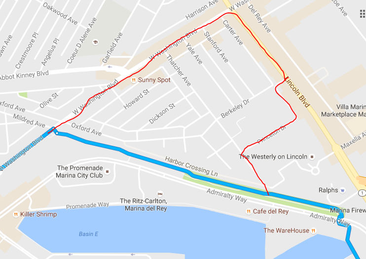
After a successful ride along the Marvin Braude Bike Path, next on my list was Ballona Creek. Starting in the heart of Culver City, the bike path takes you 6 miles all the way to the sea, just south of Marina Del Rey where it meets up with the Marvin Braude.

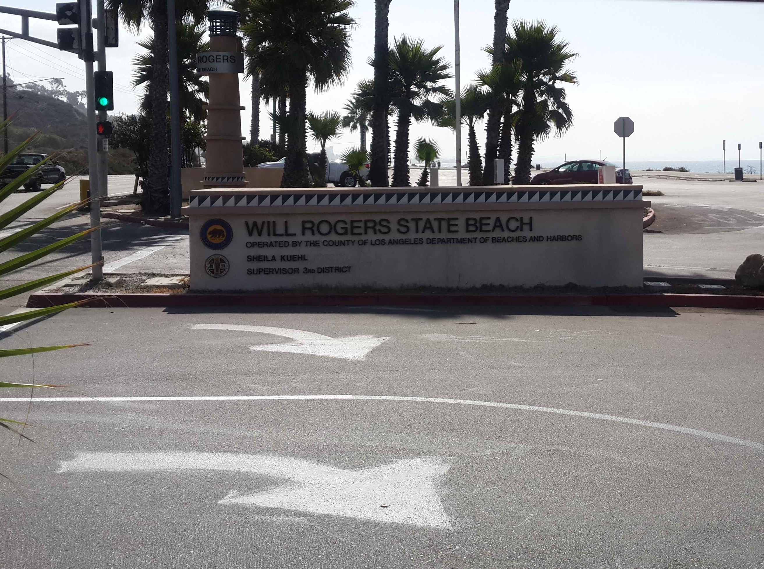
I continued my cycle north to Santa Monica, before cutting back through traffic to University Park.

Once again I strapped on my GoPro and went for a ride, you can see the compilation below:

More info on the route can be found here.


Bridge to Nowhere

A few weeks ago we got the opportunity to do some hiking in the nearby San Gabriel Mountains. A group of about 8 of us hiked up there for 3 days passing by the Bridge to Nowhere.

img_4417It was our first opportunity hiking in the area and we were fortunate enough to have great weather. We drove up to the trail-head on Saturday morning, arriving around 9AM. The parking lot was packed. We had to park several hundred metres down the road and hike up. Parking requires a pass, and free permits were available a little way on by the camping area.img_4454Although the parking lot was full, the trail is long and wide enough that you rarely have any problems with other people on the track. Majority of the people we saw were situated at the Bridge to Nowhere itself, watching or taking part in the Bungee Jumping. We had no idea about this when we were hiking in, and none of our hiking mates mentioned it to us until we got there, assuming everyone knew about it :) Coming from SA it’s not the biggest bungee jump in the world, but more than enough to get a thrill, especially with the really close cliff faces. None of us tried it though.img_4504The hike itself is not too strenuous, a 10 mile round loop to the bridge and back, made up of meandering paths and some river crossings. When we hiked the area was extremely dry, so I managed to keep my shoes out of the water the whole time, but there is usually more water, requiring some wading. Although there are a few areas with a slight climb, over all the route is flat with only about 200m of altitude gain.img_4499We arrived at the bridge and had lunch there, but our plan was to continue past the bridge. We carried on and set up camp on the side of the river a few hours later. Once you get past the bridge you are walking in a canyon the whole time, criss-crossing the river. It’s really beautiful and was great to get out of the city.img_4474We saw a snake. It was super chilled, just doing it’s thing. Also many people panning for gold. Apparently there’s still some left, but the further upstream we got the less people we saw, but the more remnants of previous mining activities showed up.img_4477Also poison oak. Something we haven’t seen before, and we were fortunate enough not to have any bad experiences with.

Marvin Braude Bike Trail

Finally having a day free (not waiting for UPS/Fedex to show up), I took my bike down to the beach. LA is blessed with a beautiful coastline, and a 35km bike route starting at Will Roger’s beach, and ending at Torrance County Beach.

Often referred to as the Strand, it was officially renamed in 2006 for LA Councilman Marvin Braude.

The route is really great, comprising of a wide concrete path, right on the edge of the beach. In some sections you share the path with pedestrians, but for the most part it’s just for cyclists. There is one slight detour around Marina del Rey, a combination of on-road bike lanes and separate paths.

metro bike

metro bike

Not living by the beach, I opted to take the Metro to Santa Monica. I then rode north to the start of the trail, and all the way down to its end. For midday on a Thursday there were more people than I expected, but not crowded at all.

Start at the Will Rogers Beach

Start at the Will Rogers Beach

I did it in about 1hr25min on my mountain bike, but it would probably take longer if you just want to go for a relaxed ride (Google reckons 1hr45m).

Santa Monica Pier

Santa Monica Pier

detour

My detour in red

I also did a slight detour by Marina del Rey. You can see on the below map where I should have turned, but it’s not signposted, and if you don’t know there’s a turnoff you might miss it. I point it out in the video at the bottom as well. I only noticed when I ran out of bike lane though several hundred metres on.The trail can be unofficially continued through the Palos Verdes Peninsula, and then continued along to Long Beach. I opted to grab the Metro back home instead.

Trail End Beach View - Torrance Country

Trail End Beach View – Torrance Country

I did a GoPro compilation of many sections of the route which you can check out below.